This manual explains all the key features of the CMS, enabling you to manage your (up-to-date) data for winter sports and summer activities easily and efficiently.
What is the SRM?
The SRM platform centralises information from various, mostly business-critical data sources that are of great importance to both guests and other tourism stakeholders. To this end, we offer a modern CMS designed to capture, edit and provide all relevant, up-to-date information for sports and leisure destinations. In the SRM, external and internal data sources are captured, supplemented and harmonised, so that the entire data set or the desired, specific data collection is available in a media-appropriate format for various applications or can be made available for further processing. All recorded and processed data is machine-readable via API. A classic use of the SRM is to control interactive “Panomaps” (SKIMAPS in winter, HIKEMAPS in summer): https://winter.intermaps.com/wonderland_v3 Also very important are the snow reports, published daily via the iSKI media distribution list on many platforms and, optionally, in your own winter sports report, etc. https://srm.intermaps.com/srm_basic_report/srm_reportdesign_v1.aspx?region_id=52941. Logging in
Log in using the username and email address sent to you, and use two-factor authentication for maximum data security.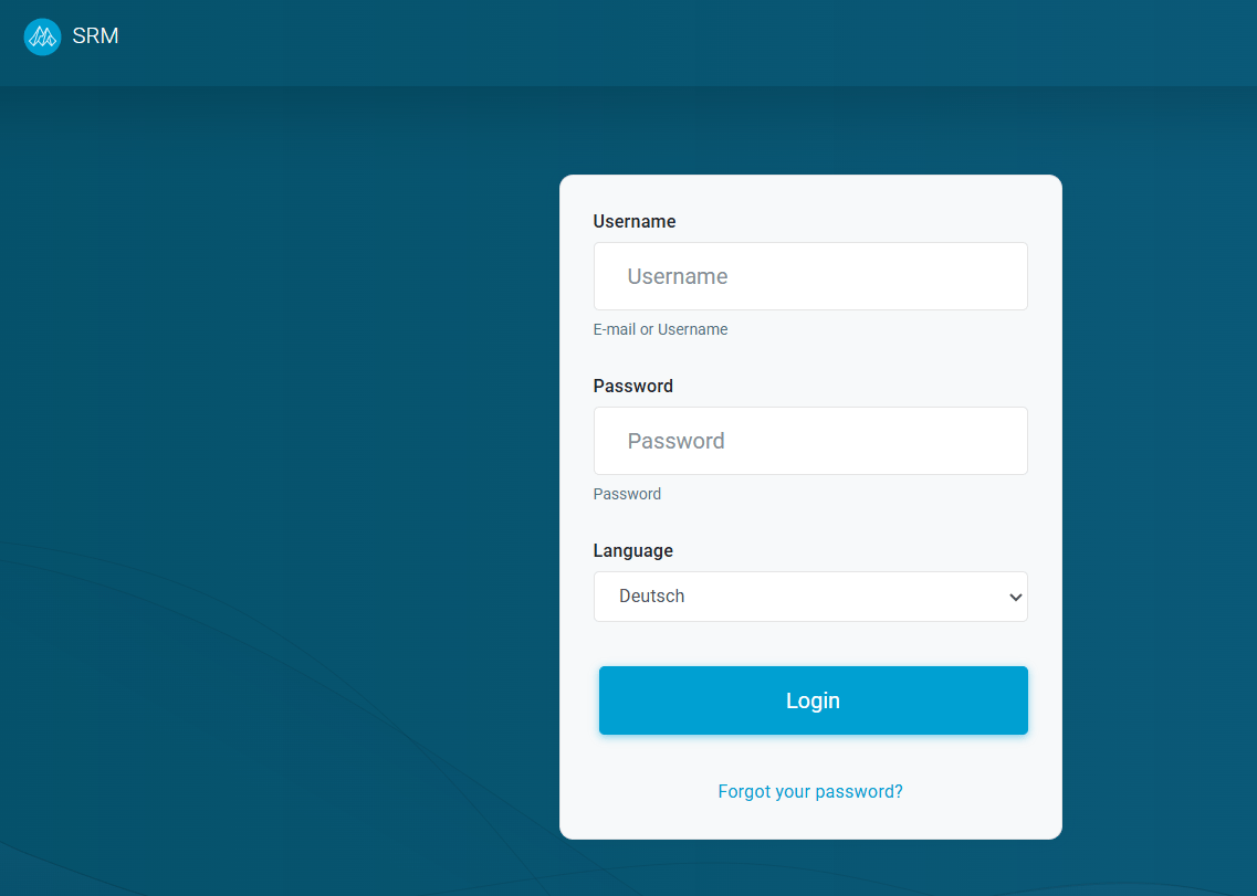
2. Start page
After logging in, you will be automatically redirected to the start page: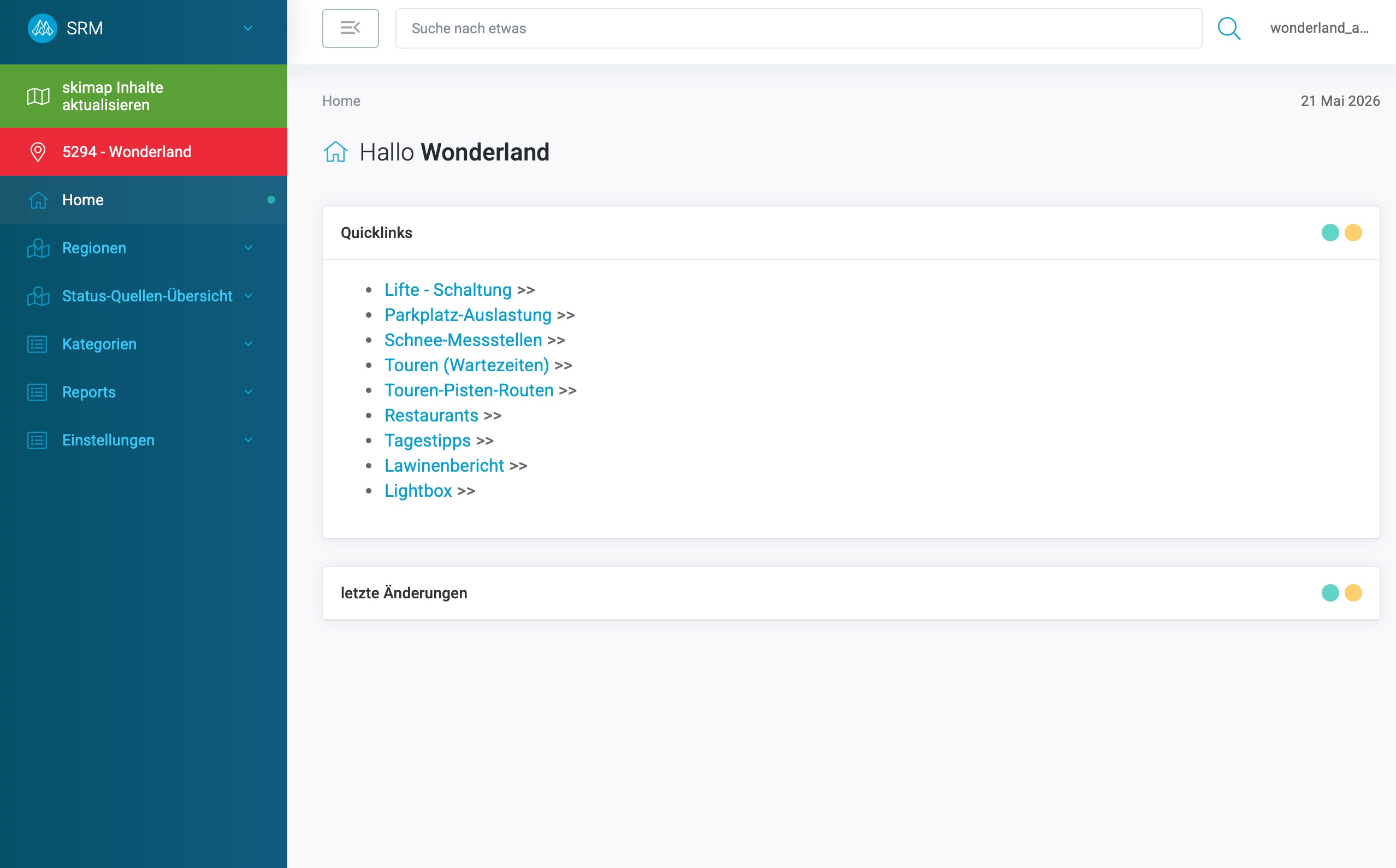
- Top right, next to your username, you can change the language.
- The main view of the home page features quick links to the most important topics and logs of recent changes.
- The active region (e.g. “5294 – Wonderland”) and further navigation points are on the left.
3. General UX
Data tables
When you click on navigation items, entire data lists are displayed as tables, complete with a search field and page numbering.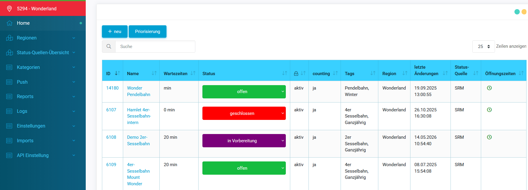
Depending on the screen size, even more columns will be displayed when you zoom out.
Individual objects
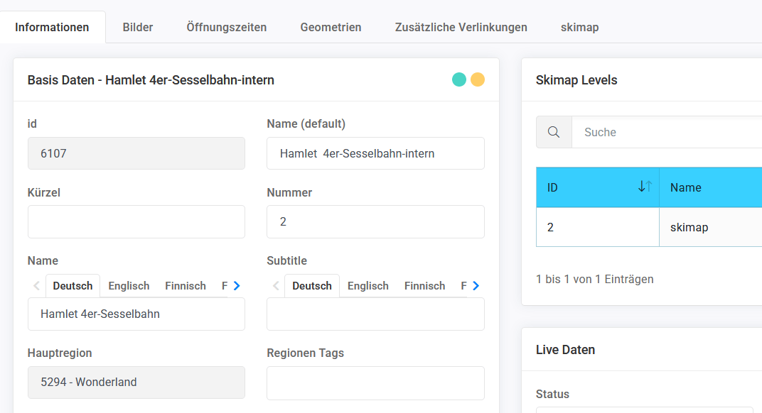
Depending on the type, objects have different properties, but certain features are common to all:- tabs with various functions: information, images, opening hours. The “Geometry” field always contains the GPS coordinates (as a point, line or polygon)
- names, descriptions, etc. (free text) can be entered in as many languages as required. Naturally, this only makes sense in the languages required by the relevant Panomaps or interfaces. If the “Name” is missing in a particular language, “Name (default)” is displayed.
- main region is added automatically
- the last tabs are usually the positioning on various Panomaps
4. Categories and objects
Technical facilities (Lifts)
The table shows, among other things, the name and status. The status can be changed directly here. If the status is taken from a source, the name of the source and the last modification are also shown here.The status in preparation is particularly suitable at the start of the season, when facilities are not yet fully operational.
Tours (slopes, trails, paths…)
All slopes, trails, hiking paths and other routes in the region are managed here.Die Tags (z.B. ‘Ganzjährig’, ‘Winter’, ‘Sommer’) helfen dabei, Touren nach Saison und in API zu filtern.
Snow data (“Snow report”)
Here you can maintain the current snow conditions for the measuring stations (at least valley and mountain).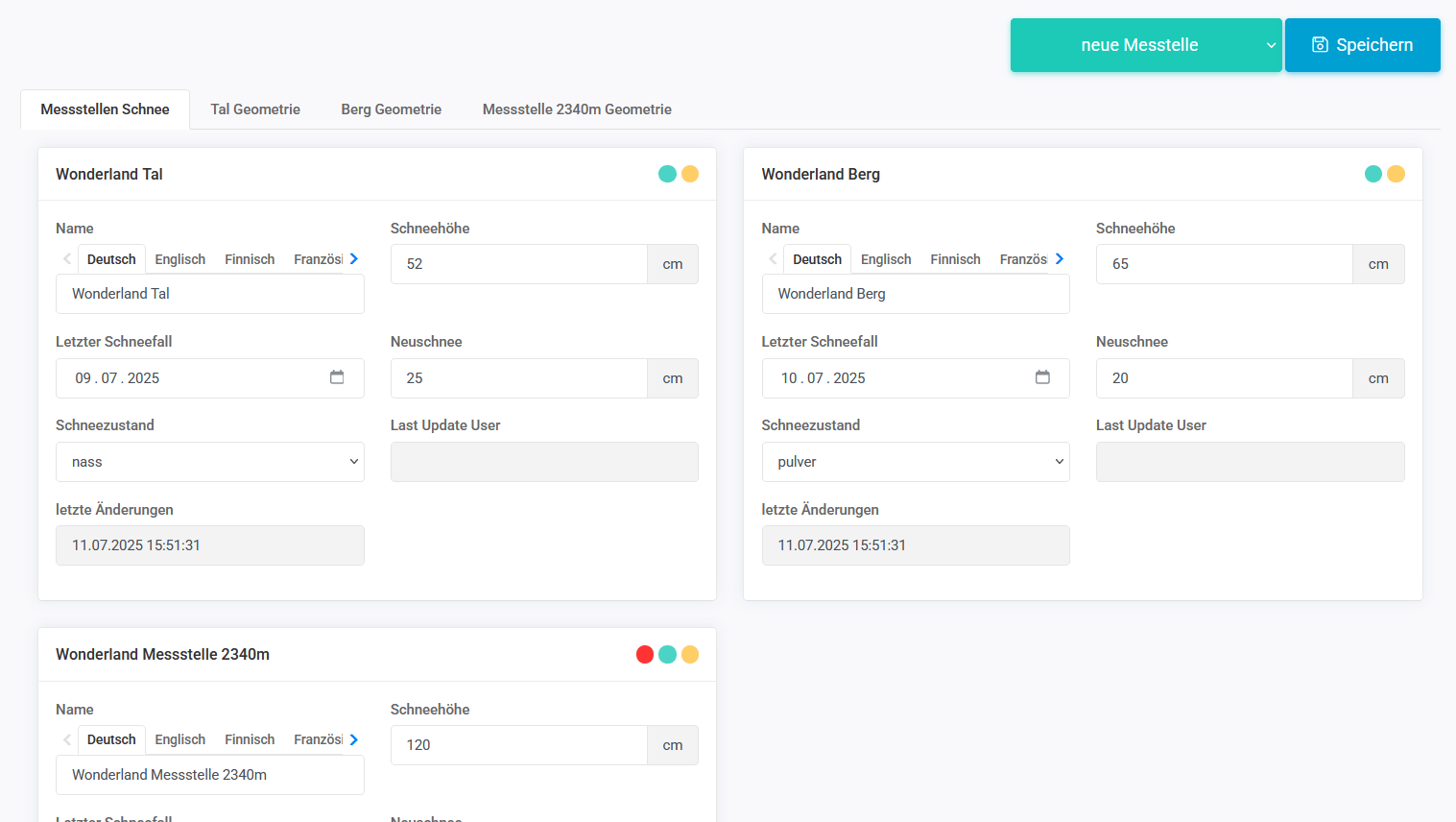
Snow depth is displayed directly in the snow reports. Please keep the data up to date daily.
Resort Information
Please enter the seasonal opening times for the entire resort here. These will be distributed directly to all connected platforms via the iSKI media distribution service.Point of Interest (Gastronomy, Infrastructure..)
Here you can add huts, car parks, ski hire shops, etc. Our Panomaps retrieve descriptions, photos and opening times from the SRM… you can also determine their positioning! POIs can be easily deactivated via the SRM.Events Infos Tips
Events and daily tips can be entered here and updated in real time. Less relevant for Panomaps and more for the SRM Live API and, consequently, our other products such as Ski!TV (Info!TV), snow reports, apps, your website… and also the WMS (WinterMediaService)